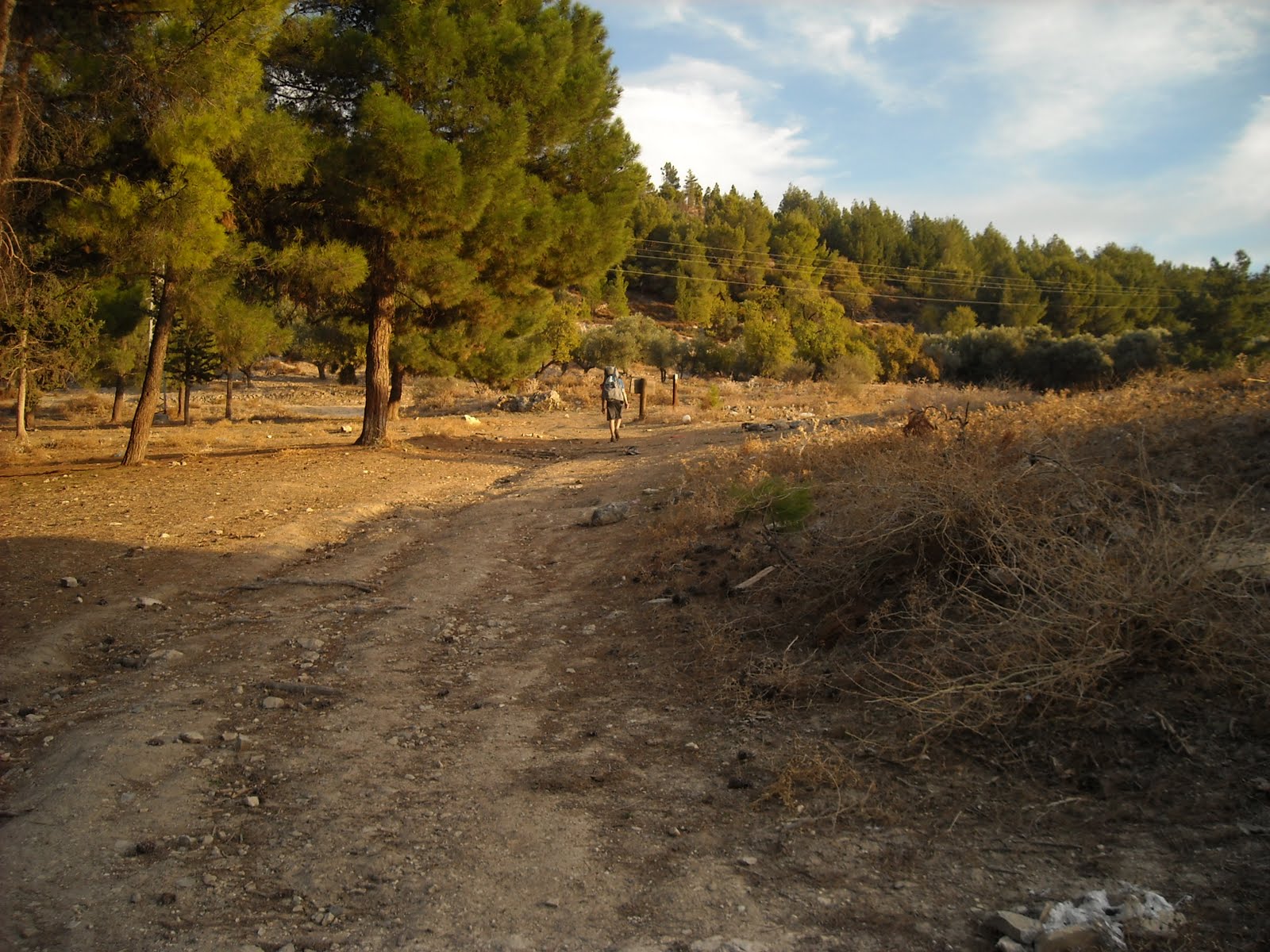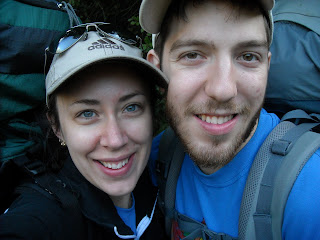
Saturday, November 12th marked the beginning of Day Three of our Yam L'Yam trip. Camping-wise, we had competed our third night of four, however we were unsure where we would end up that evening, as our research had only turned up results as vague as "somewhere near Tzfat." Hiking-wise, we still had half the trip to go. It seemed crazy that two more days of hiking lay ahead, and even crazier still that we had maintained the necessary pace thus far. Our soreness was doubly compounded from the day before, yet we still had to endure 40 kilometers of aching, moaning, whining, and groaning before our feet and back had a chance to fully recuperate.
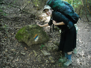
The night before hadn't been the best, with at least four separate occasions of hearing boars approach the tent. The first one happened before dinner, and the others while we were asleep. Personally, I wanted to leave the tent, thinking that there would be no escape if the boar actually tried to get the meat inside our tent. But apparently boars are fearless, and chase people regardless of provocation. So maybe we were safer inside, the tent acting as an obstacle that the boar was too blind to notice wasn't a tree. Morning brought forth the refuge of light and safety, and luckily, no boars. We woke up at 6, ate our usual breakfast of couscous, egg, and melted string cheese, and packed everything up in time to leave at 8:30. Before we left, we asked the people camping across the parking lot whether boars lived in this area, and they confirmed that indeed, there were boars. Our map indicated that for the rest of the trek, we would be walking along "Shvil Yisrael" - the Israel National Trail, which stretches from the very northern tip of Israel to the Red Sea in Eilat. As you can see in the picture above, the "Shvil" (as we liked to call it) is marked with White, Blue, and Orange, a symbol of mountains (snow), water (the Mediterranean and Kinneret), and desert. Apparently this trail takes 45 days to complete - making our four day excursion seem like child's play!
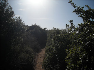
The first hour of the day was on a trail similar to the end of the second day - woodsy, very shaded, with nice smells all around. The first two days started with pretty easy terrain, but this trail was right up the side of Har Meron, the mountain which we thought we had avoided the day before. Climbing the mountain was intense and tiring, but not terrible.
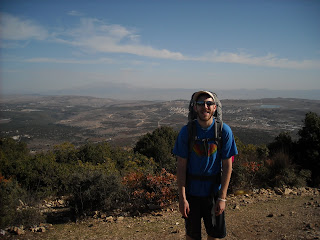
Reaching the top of Har Meron gave us a spectacular view to the north. We could see for miles!

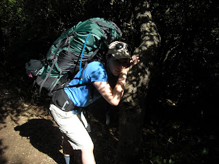
One of the many poses of Chelsey. At this point, she was stretching her right calf, which had been hurting after the ascent up Har Meron.


After another twenty minutes or so, we reached a slightly higher peak of the mountain. During this time, we came across dozens of hikers - mostly groups of old people and families with kids. We "shalomed" everyone we came across, and nearly everyone replied back with an equally genuine "Shalom." We were even lucky enough to receive a few "Shabbat Shaloms" and "Boker Tovs!" We figured out that hiking must be a popular activity for the less religious Israelis during Shabbat.
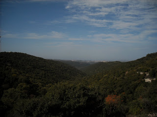
Can you see the Kinneret from here? We couldn't either.
Left. Left. Left, right left! One of the uncountable steps of Chelsey.
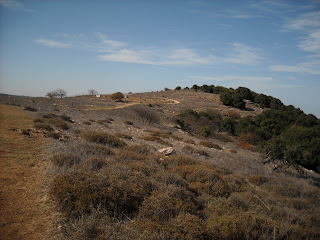
It was nice and sunny on the top of the mountain. The weather had been treating us well the entire way, as we commented on frequently throughout the trip. After walking the peak of Har Meron for a while, we descended part of the way and reached a parking lot full of Israeli tour buses and cars. It was a popular day for Har Meron. After stopping for a quick snack, we continued through the parking lot into an area of plains. We thought this was a good opportunity to walk side-by-side, (which we only ever did when the terrain was flat and easy) but our idea was ruined by a brief incline.
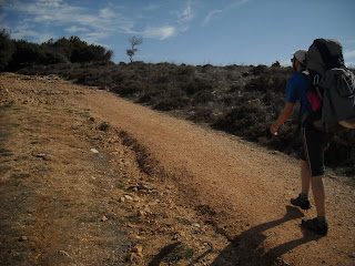
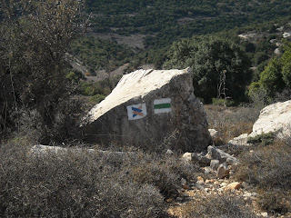
The marker on the left was another version of the "Shvil" marker. The orange arrow indicates desert to the left, (just a mere 400 kilometers away) and water (and mountains) to the right.
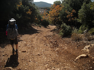
Chelsey's calf had been hurting more than usual, and suddenly the pain got even worse. The pain was "unbearable." The previous day it had been hurting and sore, but this was different. She could barely take a step without yelling out in pain. This was scary for both of us, because we didn't know how difficult it would be to continue, and whether we would even be able to finish the hike! Chelsey asked me what I thought was causing the pain, and I said that it probably wasn't a pulled muscle, because that usually happens from sudden overextension. I guessed that it was strained, because our movement had been pretty constant and similar over the last few days, and while strenuous, didn't seem like the type of exercise that would cause a pulled muscle.
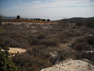
Here's where we rested while Chelsey tended to her hurt calf. We ate and Chelsey stretched, and we decided that the best option would be to take it slow for a while. We walked through the plains area very slowly, to avoid hurting Chelsey's calf. We felt lucky that we had started off the day pretty quickly, because otherwise it was unlikely we would make it to camp before nightfall. The plains were hilly, but the terrain was pretty easy - just dirt and small rocks. We slowly but surely picked up the pace until we were walking pretty comfortably without causing Chelsey any extra pain.

Here we came across a strange "bottomless" pit. I threw a couple of rocks inside to hear the echo and see how deep it was, scaring a few birds nesting within.
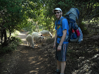
We came across a shepherd with sheep and goats. Baaaaaa!
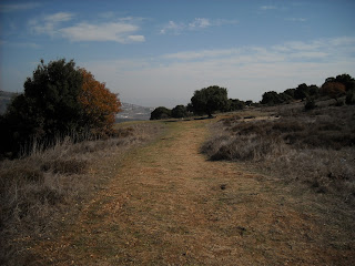
The terrain was nice and easy here, thankfully.
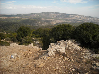
But suddenly our rocky downward descent began. This was very annoying, as we had to slowly maneuver our way down the rocks to avoid hurting Chelsey's calf. We did not expect such a quick change from flat to steep downhill.
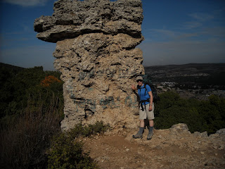
A cool rock formation during our descent down the mountain.

Another rock formation. Notice the "Shvil" marker in the bottom left-hand corner of the picture.
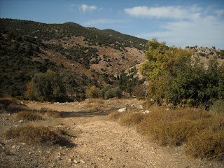

Down, down, down into the abyss.

Finally at about 12:45, we made it to the bottom of the mountain, where we stopped for a lunch break. I was happy we had made it this far without further injury to Chelsey's hurt calf. We had definitely taken the last couple of hours slowly, but we had reached another checkpoint without any additional problems.
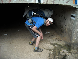
We walked through a parking lot, where we found the next "Shvil" marker, which you can see in the top right corner of the picture. We had to duck under this bridge just to reach the next part of the hike!
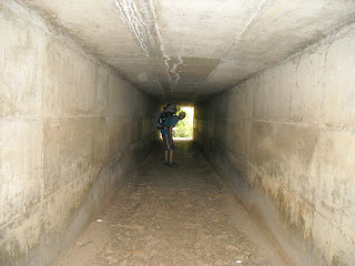

Still going strong!
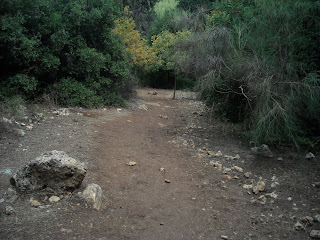
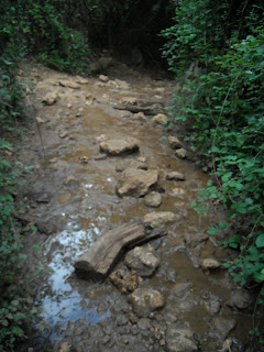
We had to do some stone stepping again - Chelsey helped me across because her shoes were waterproof and it was shallow enough for her to just stand in the water. This was the only stream crossing we had all day.
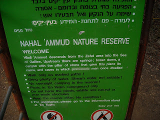
Soon we reached the beginning of Nahal Ammud Nature Reserve, where we would spend the rest of today along with the next morning.
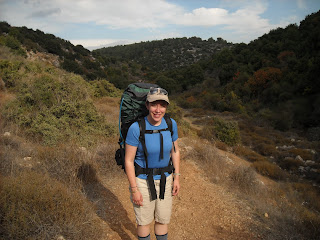
Soon after beginning our hike through Nahal Ammud, we came across hikers going the other direction. They asked us where we planned to sleep that evening, seeming somewhat concerned that we were going the wrong direction, especially because the reserve closed at 4:00. We said we were sleeping somewhere near Tzfat, which seemed to appease their curiosity.
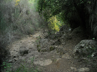
The trail started off with a bunch of rocks and incline...

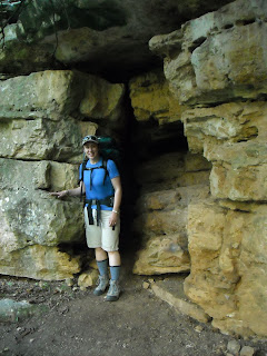

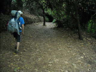
but soon leveled out into a nice flat path. During this time we continued to encounter people going the other direction, some of whom again asked us where we were spending the night. At this point we were somewhat worried that we wouldn't make it to camp in time, so I started to set a blistering pace, which Chelsey fortunately managed to maintain as well. We kept this up for a while, continuing to pass people going in the other direction. By about 2:45-3:00 we stopped running into people, which wasn't a very good sign. We were deep within a valley enshrouded in trees, plants, and shadow, and nightfall was rapidly approaching. We weren't sure how near we were to a campsite, or whether we had missed our turnoff earlier, or how far it was until highway 85. By about 3:30 we started searching for potential places to set up camp illegally inside the nature reserve. For a few minutes we considered a flat area on the side of the path, but the prospect of sleeping in the middle of a forest with boars wasn't too appetizing. Worried that we would run out of time, we decided to continue on. Just a minute or two later, we came across a sign indicating a trail that led to Ein Kovess (half a kilometer away) and Tzfat (2 kilometers away). We decided our best option was to take the trail.
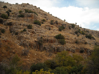
While we finally had some sense of relief, knowing that at worst, we could find somewhere to sleep in Tzfat, we also had an extremely grueling uphill climb to battle. This was the steepest uphill climb we had yet to make, requiring us to essentially rock-climb, using our hands to pull ourselves up onto the next rocks. With heavy packs and tired legs, we slowly but surely made our way up the hill. Chelsey was complaining like no other saying things like, "This isn't a path, why do people make these paths?" It was heinously difficult facing the steepest and most difficult part after having already hiked for 7 hours.
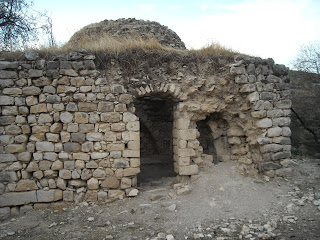
Finally, we reached the end of the rock climbing. Still, we had another 10 minutes of walking uphill, but at least we had conquered the most difficult part. By now we were officially out of Nahal Ammud, approaching a clearing leading to a parking lot. Knowing that we had no energy left in the tank to reach Tzfat, our only question was where we would find water. Up ahead we saw a sign, along with a family finishing their hike (miniature by comparison) and heading to their car. The sign mentioned something about "mayim" (water) that I could not understand, with an arrow pointing to the left. I honestly thought I saw a water spigot, but in my deliria it must have been a mirage. Not wanting to have to hike an additional 1.5 kilometers to Tzfat, I decided to ask the family if they knew anywhere we could get water. The middle-aged man pointed to a small pond-like area we had just walked by, which we had earlier dismissed as dirty water. Upon closer inspection, there were pipes that drained out into this small pond. The man explained that he has been drinking that water since he was five years old, and that it is perfectly safe. He even offered to drink some right then to prove it! As we were walking away, I noticed that he had stripped down to his underwear and hopped in the water! So strange.
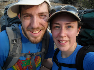
We were SOOOO relieved that we found water nearby to drink, and that we wouldn't have to go to Tzfat in the morning. And of course, that we were done hiking for the day!
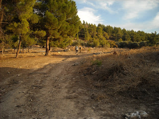
The path leading from the edge of Nahal Ammud to the foothills of Tzfat. I told Chelsey that I would go ahead to search for water, so she didn't have to walk more than necessary (which is why I'm a blip in the middle of the picture).
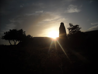
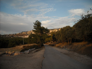
The stone structure on the left is where the pipes drained into the pool of water.
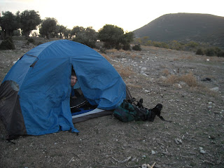
We set up camp and enjoyed the sunset, happy that we had solved the problem of finding camping for the final night. We noticed some cows grazing nearby, and wondered if we would have another boar encounter. A cow with big horns started approaching our tent. Suspecting that these were wild cows, we still didn't know whether they were dangerous or not. The cow got nearer and nearer. From inside the tent, we watched with the tent flap open, peering out at the slowly approaching cow, plodding along in a straight line directly towards the tent. 50 feet away, 30 feet away, 15 feet away. Just like with the boars, I debated leaving the tent. The cow walked even closer, right up to the side of the tent. We were frozen. Then it sniffed, took a step or two to the right, and plodded on past the tent.
After the cow incident, we exhaled, and Chelsey started writing about the day. While she was writing, we heard another stupid boar in the distance! UGH! At least it remained far away this time, and was the only boar we heard the entire evening. After a dinner of cooked salami and couscous, with dried apricots, cranberries, and dates for dessert, we retired to the tent, exhausted from the day. Chelsey read aloud "The Pit and the Pendulum" by Edgar Allan Poe, and by 8:30 we were ready for sleep. Just as we were entering the realms of dreamland, we were woken up by a whipping wind, thrashing the tent about and causing the sides of the tent to implode before releasing with a lull in the wind. This continued on for an hour or so, and we couldn't sleep. I decided to stake down the corners of the tent, thinking that it would partially prevent the sides from caving in. With the full moon providing light, and not a boar in sight, I pounded in the tent stakes with a rock. Soon afterwards the wind died down, and we were able to finally fall asleep.
 On the fourth and final morning we woke up to a 5:30 alarm, and being recent college graduates decided to succumb to our habit of pushing the snooze button. Our Nokia phones only have a few alarm tones, and we've become accustomed to the woman's voice saying (in a British accent), "It's time to get up, the time is _:__ (am/pm)." Chelsey's GPS in her car offers a similar monotonic woman's voice, whom we call Maggie (from the GPS brand name Magellan). This nickname has attached itself to our phone alarm too, and every time we push snooze we say "Shut up Maggie!" We finally got up at 6:00, and had our usual couscous and egg breakfast. We noticed some men (presumably from Tzfat) drive up to the parking lot by the water pipes. Each one was wearing the traditional Polish Winter Garb of a Hassidic Orthodox man. And each one derobed and hopped into the water, using it as a Mikvah! That explained the hooks and bench right next to the pipes, allowing the Mikvah Men somewhere to hang their clothes and hats. After they left, we filled up on the "Mineral" water, and by 7:45 we were packed and ready to go, making this morning our earliest start yet.
 Our first leg of the journey (well, our first leg of the last leg of our journey) was a 40 minute downhill climb down the rocks we had ascended the day before. It was steep and therefore a slow descent, but much easier than climbing up.
 Chelsey maneuvering carefully down the rocks.
 It was steep at some points, and easier to turn backwards.
 Here's the sign that alerted us to the possibility of water the night before. If we hadn't come across this sign, we might have ended up camping in the middle of the valley. It says "to Ein Koves 1/2 km, Tzfat 2 km."
 When we made it to the bottom, Chelsey realized that she really had to poop. Good thing we brought along toilet paper! After Chelsey went, I suddenly had the urge to go as well. Both of us were trying to avoid this, but in a four day hike with only one Port-A-Potty along the way, certain things are unavoidable. Oh well.
 After our bathroom break, we rejoined Shvil Yisrael (the Israel National Trail) and continued along our way. The terrain started out similar to the end of the third day, with relatively flat ground and few obstacles. Suddenly Chelsey lost her footing and fell, skinning her knee! Ouch! She wasn't too happy about this, but luckily it was only a small cut, and we were able to continue.


 Before long, we had a stretch of terrain that significantly slowed our early morning pace. There were uphills and downhills, large boulders to climb over, and even handholds and footholds to help us keep our balance.
 In addition, the majority of the path was along narrow ledges overlooking the valley far below. A downward plunge would not end well for either of us.
 Yes, we actually had to walk on that skinny path you see in the top left of the picture.
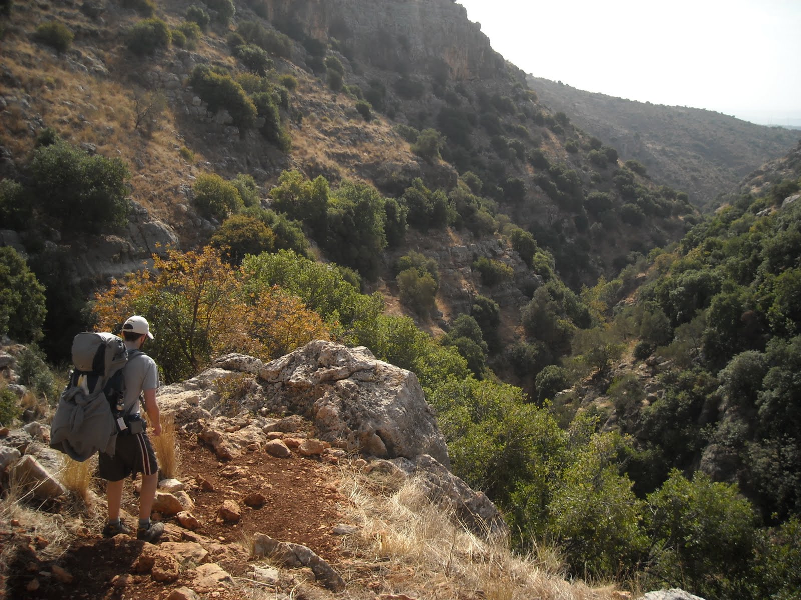 We both agreed that this part was the most difficult for both of us. While not extremely taxing on our bodies, it took a lot of mental strength and focus to keep going at a decent pace. One misstep and we could be falling into the valley below. We were already exhausted and to have to begin the final day with such difficult terrain was not welcome. We had no idea how quickly we were going, how long this was going to last, and whether or not we would be behind schedule when we finally emerged from the valley.
 In retrospect, this was one of the coolest parts of the hike. Tactically it was the most difficult, and to complete this part with huge backpacks after having already hiked for 3 days was a great achievement. The views were incredible, and completing this really boosted our morale.
 Chelsey's left knee, which she scraped falling down earlier in the day.
 By 11:00 we escaped the narrow ledges of the valley, and approached the highway that signified our first landmark on the map. Normally we would have approached our first landmark much earlier, but our slow going kept us from reaching the highway for over 2 hours. We saw a horse grazing in the distance - it was definitely a surprise! We stopped for a snack break and sat on some rocks, resting our aching backs and feet. Chelsey, being an avid shell collecter, was happy to find a snail shell on the rock.
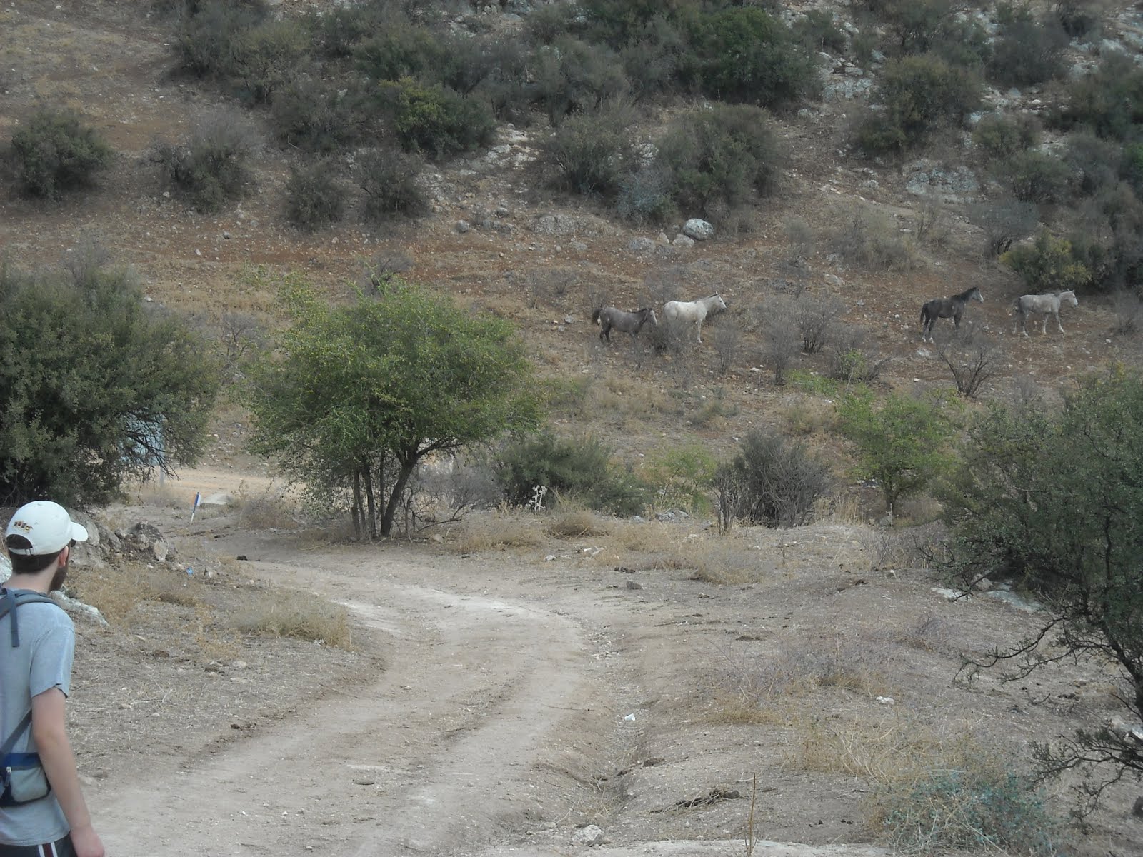 More horses!
 On the way to the highway underpass, we encountered a group of hikers and let them borrow our map. Past the highway was a bunch of construction going on, obscuring the trail and the trailmarkers. It appeared as if there were two ways to go, but there wasn't a trailmarker in sight.
 While I scouted out the correct path, I let Chelsey rest her legs, waiting for me at the fork in the road. When I started back towards her, she exclaimed "Look what I found!" It was a baby chameleon!
 Chelsey was so excited! Growing up, she had chameleons in her home, so finding one in the wild is always a treat. This was the second time we came across wild chameleons, the first being in the Tel Aviv botanical garden.
 After searching around some more, I finally found a "Shvil" marker, and we were on our way!
 This valley was much easier than the last, with mostly flat terrain and a few rocky patches here and there. The path was also overgrown with shrubs, and we often had to push branches and leaves out of the way to make it through.
 Near the beginning of this portion of the trail, we had to cross a muddy stream. We crossed it carefully, fearing a repeat of Day 1, where we crossed and recrossed the stream dozens of times. Luckily, this was our only stonestepping of the day.
 Up on this side of the valley, we saw a car that had apparently gone over the side of the cliff in a wreck long ago.
 Walking through thick tall-grass and shrubs.

 (Chelsey will continue this blog post now). 3/4 of the way through this valley, we decided to stop for a break. We were REALLY sore and tired by this point. Our backs were aching and our feet hurting. We literally needed the break. We dined on the usual fare: pita, peanut butter, dried fruit, and water. It was a nice time to briefly relax and regain our strength to make it out of the nahal.
 I am tired here, but happy to be on the fourth day of our journey. I know that the end is near and we will be victorious!
 After about two hours of hiking through this particular valley, Rafi and I spotted the end! Boy were we happy campers! After this checkpoint, we knew by looking at the map that there were only around 5 km left until we would reach our end destination. Although we were tired and sore, this really helped to boost our morale.
 I am so elated right now because at this point, we can see the opening in the valley to the rest of the world. We are so close!
 As we made our way out of the valley, Rafi spied a tortoise or turtley creature (I do not know how to tell the difference). This made us quite excited! It symbolized that the slow and steady finishes the race.
 While crossing under the next highway, we noticed this "graffiti." It says, "Kol yisrael chaverim" or "All of Israel are friends." The graffiti on the right says, "Eretz yisrael l'am yisrael" or "The land of Israel for the people of Israel."
 We soon encountered a grove of citrus fruits. We knew that this was the final leg of the hike and we could barely wait for the end!
 We are so happy upon seeing the orange and lemon groves...
 ...and then the banana groves!!! The hike both begins and ends with banana groves! This was a good sign for us that we were close to Ginosar - the end point we had been waiting for.
 Across this road is Ginosar! We basically made it! Now we just need to walk to the Kinneret and then we will have finished Yam L'yam! Oh joy!
 We followed the path that we assumed would take us to the beach of the Kinneret...why we thought this, I do not know. We saw a sign that read "Beach" with an arrow to the right. We read it, but turned left instead, according to what we had planned out on the map. We should have trusted the sign and not our mapping abilities from home. Our route took us to what seemed like a path to the beach, but instead turned out to be a path to a boat launch and a lookout point high above the water. All that was separating us from the water were reeds and a 10-foot drop. We were so upset! The whole hike would not "count" if we were not able to touch the waters of the Kinneret and walk to the beach! The route we took lasted about 15 minutes, so it would be a total of around 30 minutes round trip to backtrack! Rafi and I wondered about what we should do at this point. Should we try to make it to the Kinneret? Should we give up and go to the bus stop? We needed to catch the last bus out of Ginosar to get home that night. We were cutting it close with time. Also, by this point we were both the most uncomfortable EVER! Everything on my own body hurt. My feet had blisters, my chronically pained ankle was not happy, and my back was screaming at me to get the stupid backpack off of it! I started calling my backpack a "torture device" and without unbuckling it, started writhing around in pain trying to tear it off. After much debate, we decided that we could never leave Ginosar without first reaching the beach so again, we trekked the 15 minutes in the opposite direction.
 When we arrived at the other "beach" area it appeared as if we needed to cut through a resort-styled swimming pool in order to get to the beach. Everything was closed at that point, closing up for the day at 4pm. There was a museum there that also seemed closed. Rafi went in and asked how to get to the beach. The woman he asked was extremely unhelpful and unfriendly. She told him that we can't get to the beach from here. We were so upset at this point. We were the most dejected as we ever could have been. All we wanted was to touch the water! As we began to walk back, Rafi found a different path that may be able to take us in the right direction to the beach. He was right! Wow, our spirits definitely returned to their happy selves! In the picture above, Rafi is standing at the very beginning of our walk to the shore after finding the right path.
 We are elated on our walk to the shore. Tired and ready to go home, but happy!
 Finally! We made it to the water's edge! It was about time :)
 Look at that smile! He is so happy, and slightly delirious from tiredness.
 And I am definitely in the same boat as Rafi!
 We had enough time at the Kinneret to touch the water, snap some pictures, collect some seashells and get to the bus stop to catch the last bus back to Jerusalem. What a great day and a successful adventure!